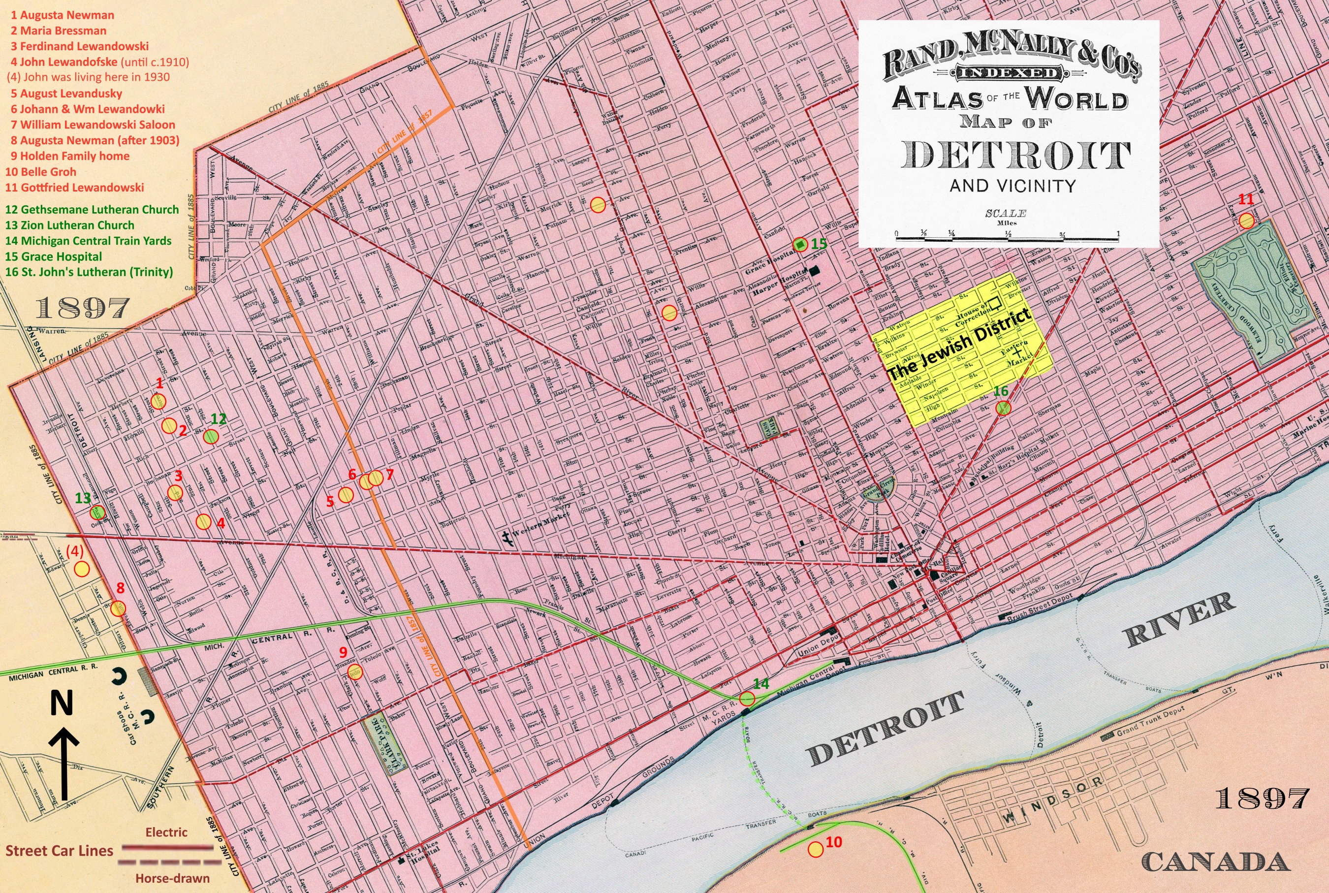
Shown below is part of an 1897 Rand & McNally map of Detroit that is marked with locations where various members of the Lewandowsi family lived in the late 1800s to early 1900s. The Jewish District of the time is colored yellow. To the east of this district, near the cemeteries (colored green) between Gratiot and Jefferson Avenues, was East Germantown, the older of two German districts. Corktown, which was the Irish District, was centered along Michigan Avenue to the west of downtown Detroit. Then west of Corktown, but still centered on Michigan, was West Germantown, the newer of the two German districts. This district was also home to many Polish immigrants. The west city limit in 1857 was set at 25th Street, but the 1885 annexation of West Germantown, pushed the west boundary out to Artillary Avenue, which is the city limit shown here. The proliferation of German and Polish families in southwest Detroit back then was due to several large factories on the west side, out past the city limits shown here.
Views identified with green circles and green location numbers on the above map
12: Gethsemane Lutheran (founded 1891)
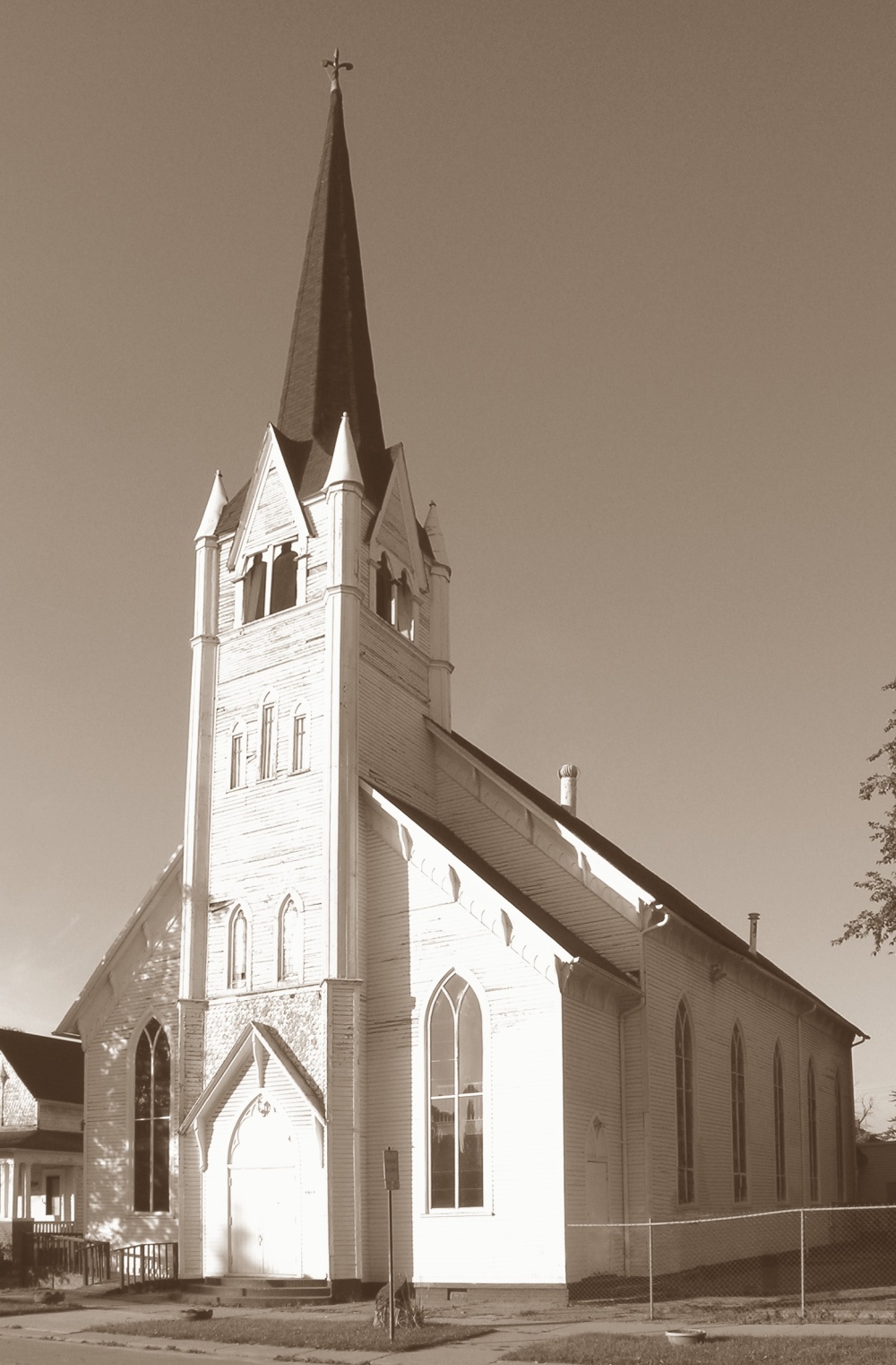
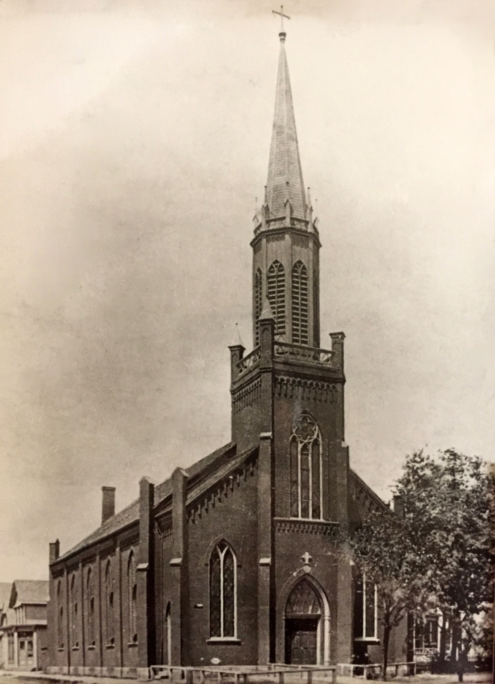
13: Zion Lutheran (founded 1883)
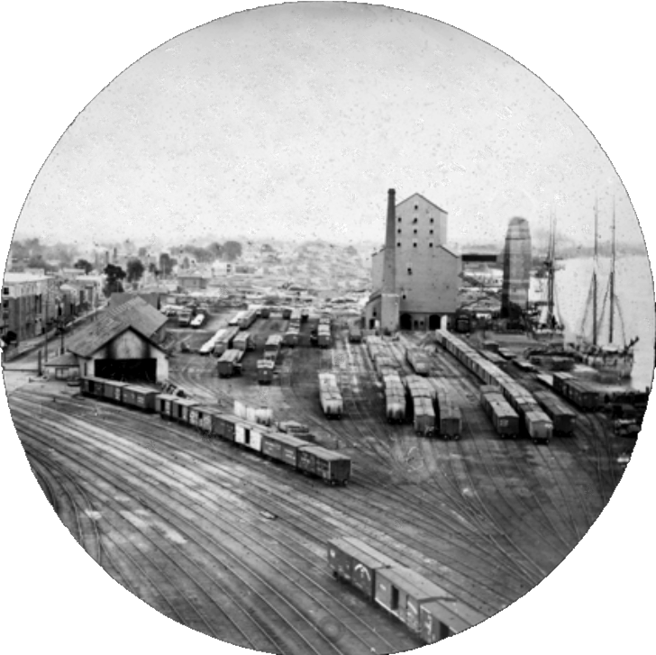
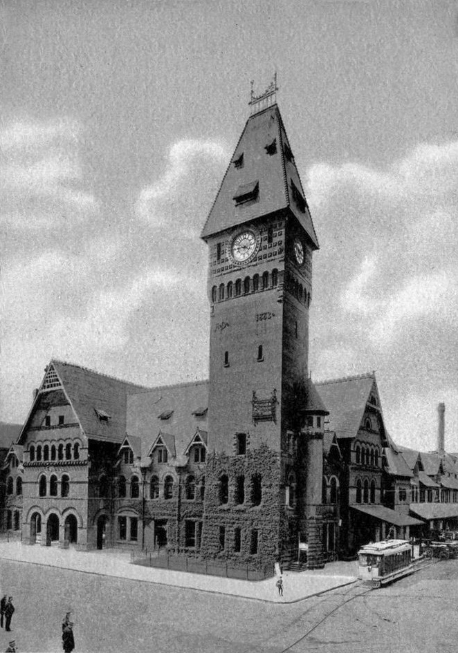
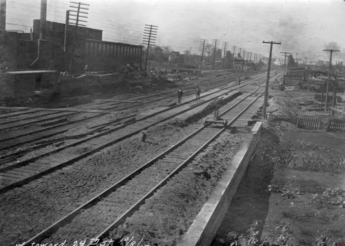
14: M.C.R.R. train yards
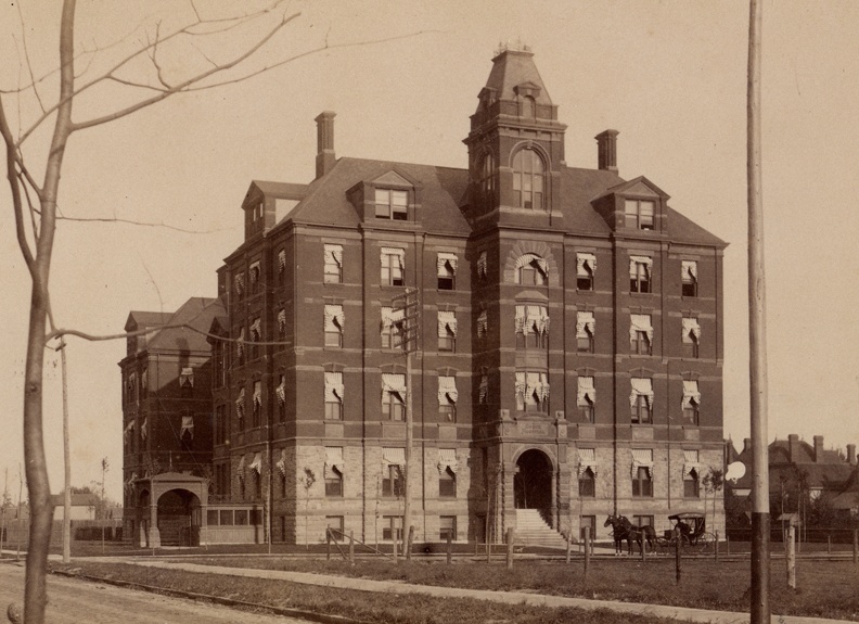
15: Grace Hospital (founded 1888)
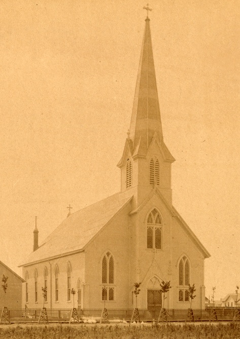
16: Trinity Lutheran (founded 1866)
Other Views not identified on the above map
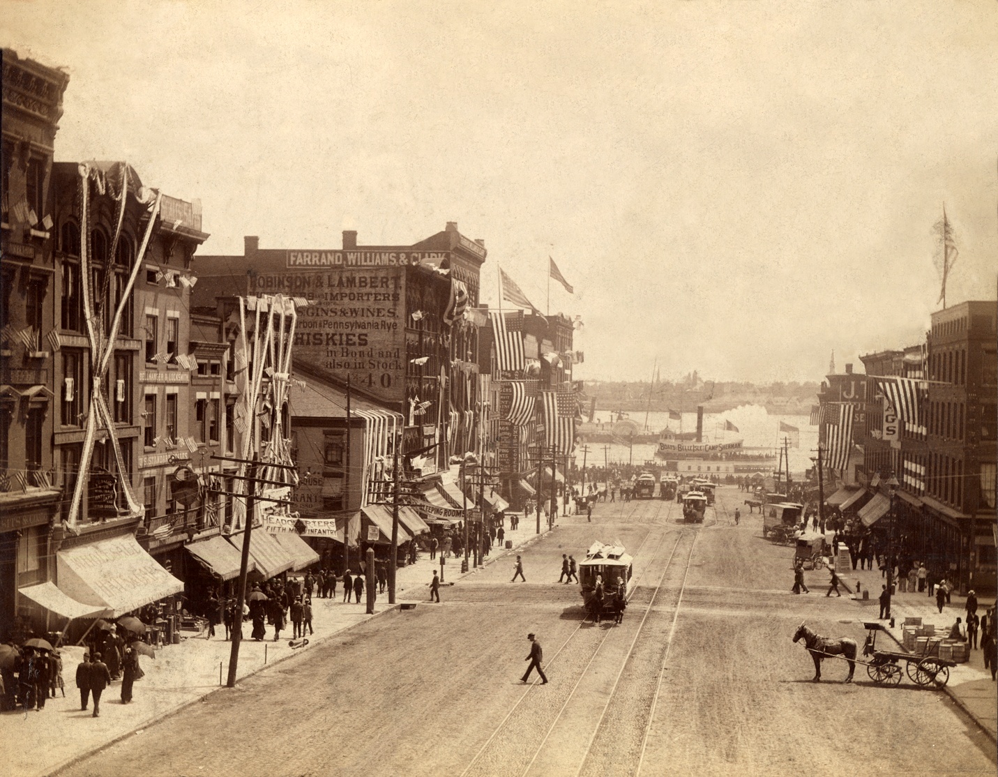
Detroit River Ferry Depot, 1891 (south end of Woodward Ave.)